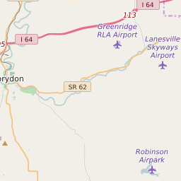
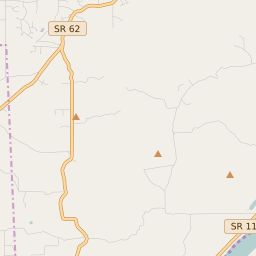
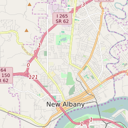
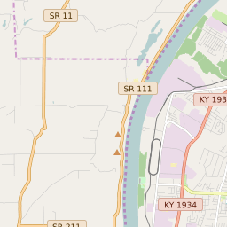
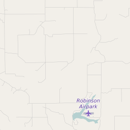
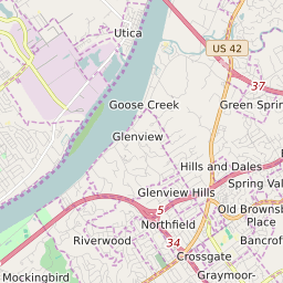
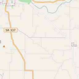
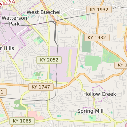
Franklin Township (Floyd County) Indiana Boundary Map

Franklin Township (Floyd County) Indiana Profile
| Place Name | Franklin Township (Floyd County) |
| Place Type | Township |
| County | Floyd County |
| Area Code(s) | 812,930 |
| Timezone | Eastern Daylight Time (EDT) |
| Population (2021) | 1,730 |
| Majority Ethnicity | White 91.46% |
| Metro/Micro Stats Area | Louisville/Jefferson County, KY-IN |
| US Congressional District(s) | Indiana 9th |
| State House Districts | 70 |
| State Senate Districts | 46 |
Franklin Township (Floyd County) Race/Ethnicity Data
| Race/Ethnicy | Percentage of Population (2021) |
|---|---|
| White | 91.46% |
| African American | 2.96% |
| Hispanic | 0% |
| Asian | 2.13% |
| Native American | 0% |
| Hawaiin/Pacific Islander | 3.44% |