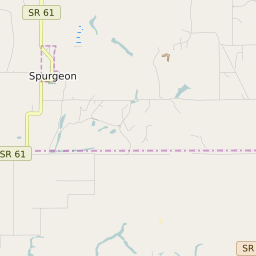
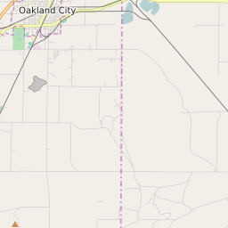
Lane Township Indiana Profile
| Place Name | Lane Township |
| Place Type | Township |
| ZIP Code(s) | 47601 47619 47637 47660 |
| County | Warrick County |
| Area Code(s) | 812,930 |
| Timezone | Central Standard Time (CST) |
| Population (2021) | 260 |
| Majority Ethnicity | White 100% |
| Metro/Micro Stats Area | Evansville, IN-KY |
| US Congressional District(s) | Indiana 8th |
| State House Districts | 75 |
| State Senate Districts | 48 |
Lane Township Race/Ethnicity Data
| Race/Ethnicy | Percentage of Population (2021) |
|---|---|
| White | 100% |
| African American | 0% |
| Hispanic | 0% |
| Asian | 0% |
| Native American | 0% |
| Hawaiin/Pacific Islander | 0% |