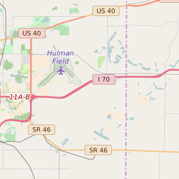
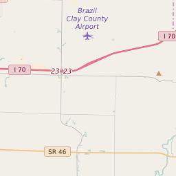
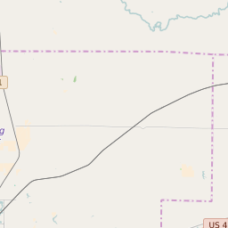
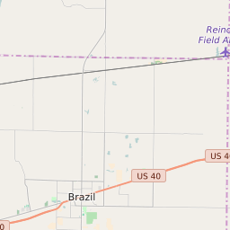
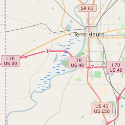
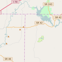
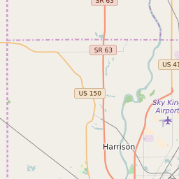
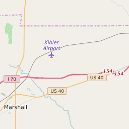
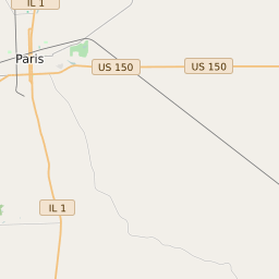
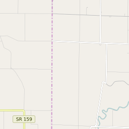
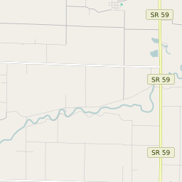
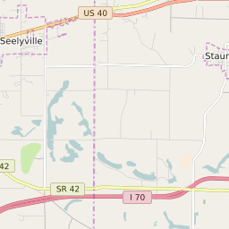
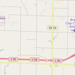
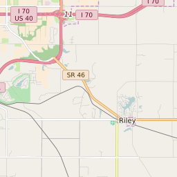
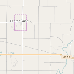
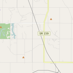
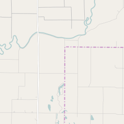
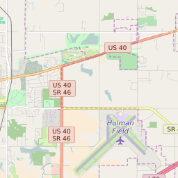
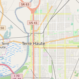
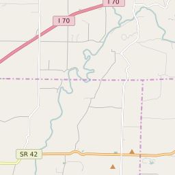
Perry Township (Clay County) Indiana Boundary Map


Perry Township (Clay County) Indiana Profile
| Place Name | Perry Township (Clay County) |
| Place Type | Township |
| ZIP Code(s) | 47834 47840 47841 47846 47858 |
| County | Clay County |
| Area Code(s) | 812,930 |
| Timezone | Eastern Daylight Time (EDT) |
| Population (2021) | 895 |
| Majority Ethnicity | White 100% |
| Metro/Micro Stats Area | Terre Haute, IN |
| US Congressional District(s) | Indiana 8th |
| State House Districts | 46 |
| State Senate Districts | 39 |
Perry Township (Clay County) Race/Ethnicity Data
| Race/Ethnicy | Percentage of Population (2021) |
|---|---|
| White | 100% |
| African American | 0% |
| Hispanic | 0% |
| Asian | 0% |
| Native American | 0% |
| Hawaiin/Pacific Islander | 0% |