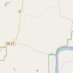
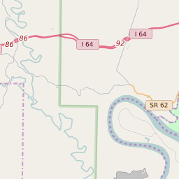
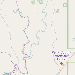
Union Township (Perry County) Indiana Boundary Map


Union Township (Perry County) Indiana Profile
| Place Name | Union Township (Perry County) |
| Place Type | Township |
| County | Perry County |
| Area Code(s) | 812,930 |
| Timezone | Central Standard Time (CST) |
| Population (2021) | 294 |
| Majority Ethnicity | White 100% |
| US Congressional District(s) | Indiana 8th |
| State House Districts | 74 |
| State Senate Districts | 47 |
Union Township (Perry County) Race/Ethnicity Data
| Race/Ethnicy | Percentage of Population (2021) |
|---|---|
| White | 100% |
| African American | 0% |
| Hispanic | 0% |
| Asian | 0% |
| Native American | 0% |
| Hawaiin/Pacific Islander | 0% |