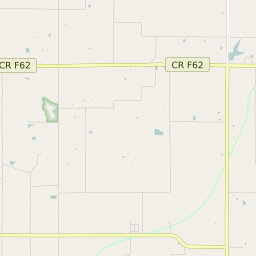
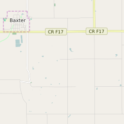
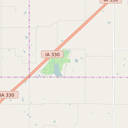
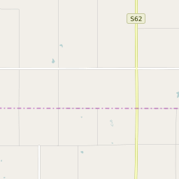
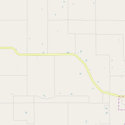
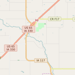
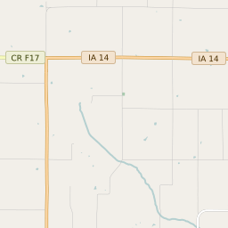
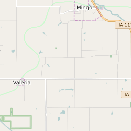
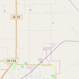
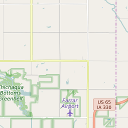
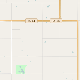
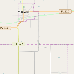
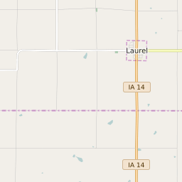
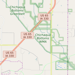
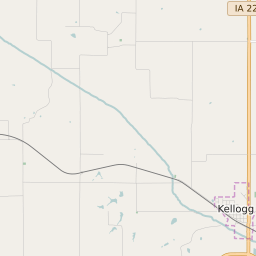
Independence Township (Jasper County) Iowa Boundary Map


Independence Township (Jasper County) Iowa Profile
| Place Name | Independence Township (Jasper County) |
| Place Type | Township |
| ZIP Code(s) | 50028 50127 50168 50234 |
| County | Jasper County |
| Area Code(s) | 641 |
| Timezone | Central Daylight Time (CDT) |
| Population (2021) | 1,377 |
| Majority Ethnicity | White 99.64% |
| Metro/Micro Stats Area | Des Moines-West Des Moines, IA |
| US Congressional District(s) | Iowa 2nd |
| State House Districts | 29 |
| State Senate Districts | 15 |
Independence Township (Jasper County) Race/Ethnicity Data
| Race/Ethnicy | Percentage of Population (2021) |
|---|---|
| White | 99.64% |
| African American | 0% |
| Hispanic | 0% |
| Asian | 0.15% |
| Native American | 0% |
| Hawaiin/Pacific Islander | 0.22% |