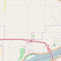
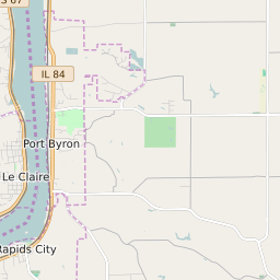


Le Claire Township Iowa Profile
| Place Name | Le Claire Township |
| Place Type | Township |
| ZIP Code(s) | 52722 52748 52753 52768 52807 |
| County | Scott County |
| Area Code(s) | 563 |
| Timezone | Central Daylight Time (CDT) |
| Population (2021) | 6,129 |
| Majority Ethnicity | White 96.78% |
| Metro/Micro Stats Area | Davenport-Moline-Rock Island, IA-IL |
| US Congressional District(s) | Iowa 2nd |
| State House Districts | 97 |
| State Senate Districts | 49 |
Le Claire Township Race/Ethnicity Data
| Race/Ethnicy | Percentage of Population (2021) |
|---|---|
| White | 96.78% |
| African American | 0.68% |
| Hispanic | 0% |
| Asian | 1.87% |
| Native American | 0% |
| Hawaiin/Pacific Islander | 0.67% |