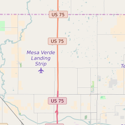
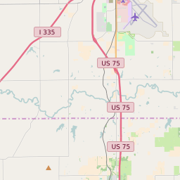
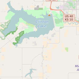
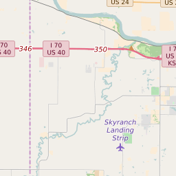
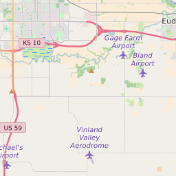
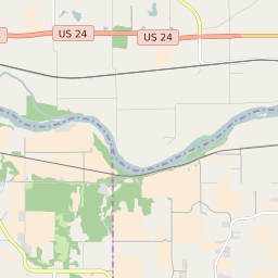
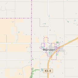
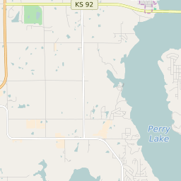
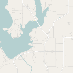
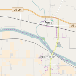
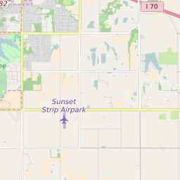
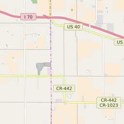
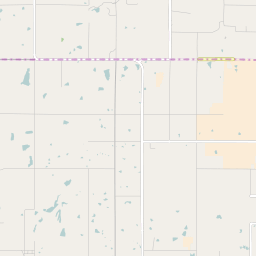
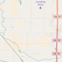
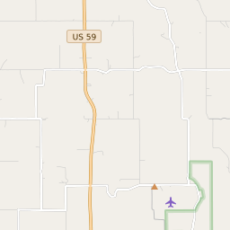
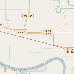
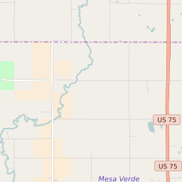
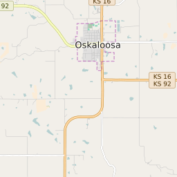
Kaw Township (Jefferson County) Kansas Boundary Map


Kaw Township (Jefferson County) Kansas Profile
| Place Name | Kaw Township (Jefferson County) |
| Place Type | Township |
| County | Jefferson County |
| Area Code(s) | 785 |
| Timezone | Central Daylight Time (CDT) |
| Population (2021) | 1,264 |
| Majority Ethnicity | White 94% |
| Metro/Micro Stats Area | Topeka, KS |
| US Congressional District(s) | Kansas 2nd |
| State House Districts | 47 |
| State Senate Districts | 19 |
Kaw Township (Jefferson County) Race/Ethnicity Data
| Race/Ethnicy | Percentage of Population (2021) |
|---|---|
| White | 94% |
| African American | 2.56% |
| Hispanic | 0.16% |
| Asian | 0% |
| Native American | 0% |
| Hawaiin/Pacific Islander | 3.28% |