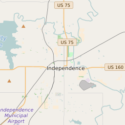


Mound Valley Township Kansas Profile
| Place Name | Mound Valley Township |
| Place Type | Township |
| ZIP Code(s) | 67335 67354 |
| County | Labette County |
| Area Code(s) | 620 |
| Timezone | Central Daylight Time (CDT) |
| Population (2021) | 598 |
| Majority Ethnicity | White 88.69% |
| Metro/Micro Stats Area | Parsons, KS |
| US Congressional District(s) | Kansas 2nd |
| State House Districts | 7 |
| State Senate Districts | 15 |
Mound Valley Township Race/Ethnicity Data
| Race/Ethnicy | Percentage of Population (2021) |
|---|---|
| White | 88.69% |
| African American | 0% |
| Hispanic | 3.55% |
| Asian | 0% |
| Native American | 0% |
| Hawaiin/Pacific Islander | 7.75% |