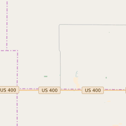
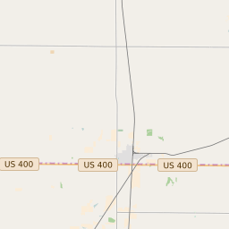
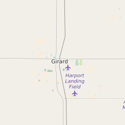
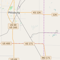
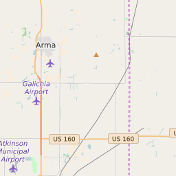
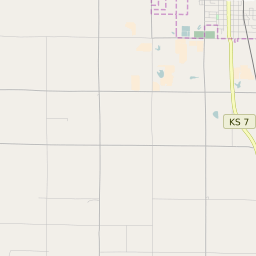
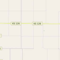
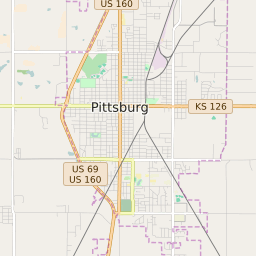
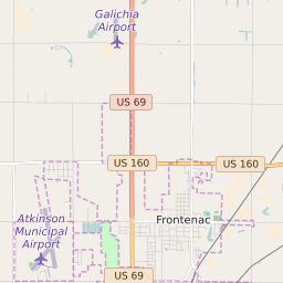
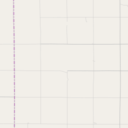
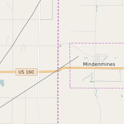
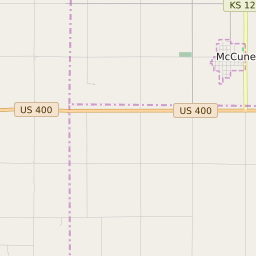
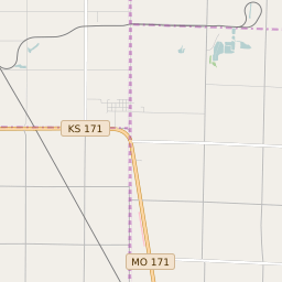
Sheridan Township (Crawford County) Kansas Boundary Map
Sheridan Township (Crawford County) Kansas Profile
| Place Name | Sheridan Township (Crawford County) |
| Place Type | Township |
| ZIP Code(s) | 66724 66743 66753 66762 66781 |
| County | Crawford County |
| Area Code(s) | 620 |
| Timezone | Central Daylight Time (CDT) |
| Population (2021) | 1,069 |
| Majority Ethnicity | White 99.71% |
| Metro/Micro Stats Area | Pittsburg, KS |
| US Congressional District(s) | Kansas 2nd |
| State House Districts | 2,3 |
| State Senate Districts | 13 |
Sheridan Township (Crawford County) Race/Ethnicity Data
| Race/Ethnicy | Percentage of Population (2021) |
|---|---|
| White | 99.71% |
| African American | 0% |
| Hispanic | 0% |
| Asian | 0% |
| Native American | 0% |
| Hawaiin/Pacific Islander | 0.29% |