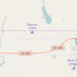
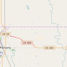
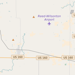
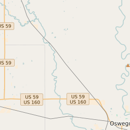
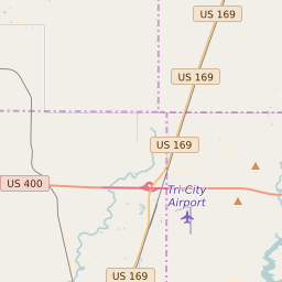
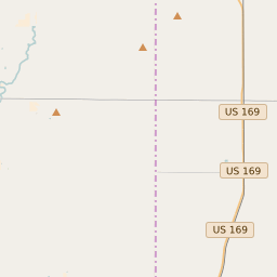
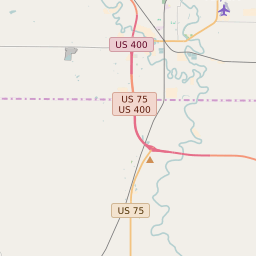
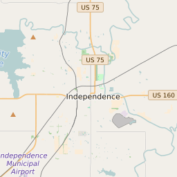
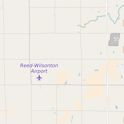
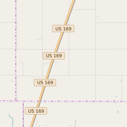
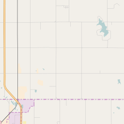
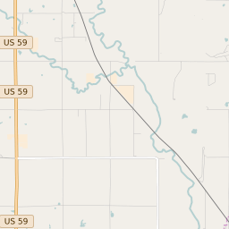
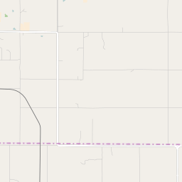
Walton Township (Labette County) Kansas Boundary Map


Walton Township (Labette County) Kansas Profile
| Place Name | Walton Township (Labette County) |
| Place Type | Township |
| ZIP Code(s) | 67357 |
| County | Labette County |
| Area Code(s) | 620 |
| Timezone | Central Daylight Time (CDT) |
| Population (2021) | 604 |
| Majority Ethnicity | White 96.46% |
| Metro/Micro Stats Area | Parsons, KS |
| US Congressional District(s) | Kansas 2nd |
| State House Districts | 7 |
| State Senate Districts | 15 |
Walton Township (Labette County) Race/Ethnicity Data
| Race/Ethnicy | Percentage of Population (2021) |
|---|---|
| White | 96.46% |
| African American | 2.02% |
| Hispanic | 0% |
| Asian | 0% |
| Native American | 0% |
| Hawaiin/Pacific Islander | 1.52% |