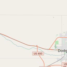
Wheatland Township (Ford County) Kansas Boundary Map


Wheatland Township (Ford County) Kansas Profile
| Place Name | Wheatland Township (Ford County) |
| Place Type | Township |
| ZIP Code(s) | 67563 67876 |
| County | Ford County |
| Area Code(s) | 620 |
| Timezone | Central Daylight Time (CDT) |
| Population (2021) | 44 |
| Majority Ethnicity | White 54.76% |
| Metro/Micro Stats Area | Dodge City, KS |
| US Congressional District(s) | Kansas 1st |
| State House Districts | 117 |
| State Senate Districts | 38 |
Wheatland Township (Ford County) Race/Ethnicity Data
| Race/Ethnicy | Percentage of Population (2021) |
|---|---|
| White | 54.76% |
| African American | 0% |
| Hispanic | 0% |
| Asian | 0% |
| Native American | 0% |
| Hawaiin/Pacific Islander | 45.24% |