


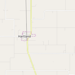


Hartland Township Minnesota Profile
| Place Name | Hartland Township |
| Place Type | Township |
| ZIP Code(s) | 56042 56072 |
| County | Freeborn County |
| Area Code(s) | 507 |
| Timezone | Central Daylight Time (CDT) |
| Population (2021) | 319 |
| Majority Ethnicity | White 96.24% |
| Metro/Micro Stats Area | Albert Lea, MN |
| US Congressional District(s) | Minnesota 1st |
| State House Districts | 27A |
| State Senate Districts | 27 |
Hartland Township Race/Ethnicity Data
| Race/Ethnicy | Percentage of Population (2021) |
|---|---|
| White | 96.24% |
| African American | 0% |
| Hispanic | 3.76% |
| Asian | 0% |
| Native American | 0% |
| Hawaiin/Pacific Islander | 0% |