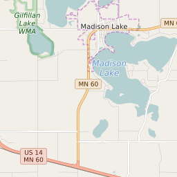

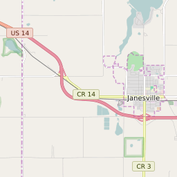


Le Ray Township Minnesota Profile
| Place Name | Le Ray Township |
| Place Type | Township |
| ZIP Code(s) | 56001 56024 56048 56063 |
| County | Blue Earth County |
| Area Code(s) | 507 |
| Timezone | Central Daylight Time (CDT) |
| Population (2021) | 778 |
| Majority Ethnicity | White 97.19% |
| Metro/Micro Stats Area | Mankato, MN |
| US Congressional District(s) | Minnesota 1st |
| State House Districts | 23B |
| State Senate Districts | 23 |
Le Ray Township Race/Ethnicity Data
| Race/Ethnicy | Percentage of Population (2021) |
|---|---|
| White | 97.19% |
| African American | 0.14% |
| Hispanic | 0% |
| Asian | 0.28% |
| Native American | 0% |
| Hawaiin/Pacific Islander | 2.38% |