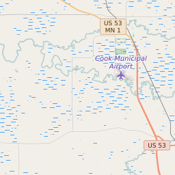
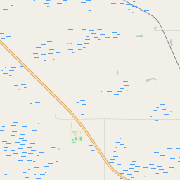
Linden Grove Township Minnesota Boundary Map


Linden Grove Township Minnesota Profile
| Place Name | Linden Grove Township |
| Place Type | Township |
| ZIP Code(s) | 55703 55723 55771 |
| County | Saint Louis County |
| Area Code(s) | 218 |
| Timezone | Central Daylight Time (CDT) |
| Population (2021) | 126 |
| Majority Ethnicity | White 98.41% |
| Metro/Micro Stats Area | Duluth, MN-WI |
| US Congressional District(s) | Minnesota 8th |
| State House Districts | 03A |
| State Senate Districts | 3 |
Linden Grove Township Race/Ethnicity Data
| Race/Ethnicy | Percentage of Population (2021) |
|---|---|
| White | 98.41% |
| African American | 0% |
| Hispanic | 1.59% |
| Asian | 0% |
| Native American | 0% |
| Hawaiin/Pacific Islander | 0% |