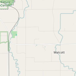
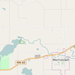

Walcott Township Minnesota Profile
| Place Name | Walcott Township |
| Place Type | Township |
| ZIP Code(s) | 55021 55049 |
| County | Rice County |
| Area Code(s) | 507 |
| Timezone | Central Daylight Time (CDT) |
| Population (2021) | 1,179 |
| Majority Ethnicity | White 99.4% |
| Metro/Micro Stats Area | Faribault-Northfield, MN |
| US Congressional District(s) | Minnesota 1st |
| State House Districts | 24B |
| State Senate Districts | 24 |
Walcott Township Race/Ethnicity Data
| Race/Ethnicy | Percentage of Population (2021) |
|---|---|
| White | 99.4% |
| African American | 0.17% |
| Hispanic | 0% |
| Asian | 0.26% |
| Native American | 0% |
| Hawaiin/Pacific Islander | 0.17% |