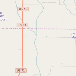
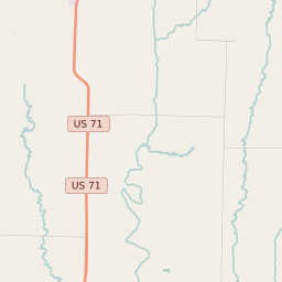
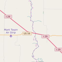
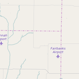
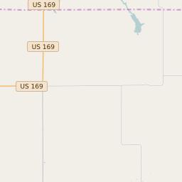
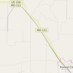
Clay Township (Andrew County) Missouri Boundary Map


Clay Township (Andrew County) Missouri Profile
| Place Name | Clay Township (Andrew County) |
| Place Type | Township |
| ZIP Code(s) | 64427 64449 64473 64483 |
| County | Andrew County |
| Area Code(s) | 816,975,660 |
| Timezone | Central Daylight Time (CDT) |
| Population (2021) | 200 |
| Majority Ethnicity | White 100% |
| Metro/Micro Stats Area | St. Joseph, MO-KS |
| US Congressional District(s) | Missouri 6th |
| State House Districts | 9 |
| State Senate Districts | 12 |
Clay Township (Andrew County) Race/Ethnicity Data
| Race/Ethnicy | Percentage of Population (2021) |
|---|---|
| White | 100% |
| African American | 0% |
| Hispanic | 0% |
| Asian | 0% |
| Native American | 0% |
| Hawaiin/Pacific Islander | 0% |