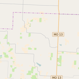
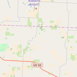
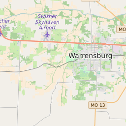
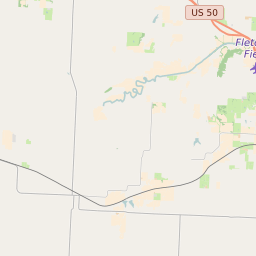
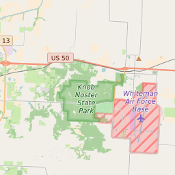

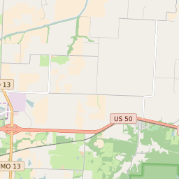
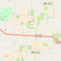

Hazel Hill Township Missouri Profile
| Place Name | Hazel Hill Township |
| Place Type | Township |
| ZIP Code(s) | 64071 64076 64093 |
| County | Johnson County |
| Area Code(s) | 660 |
| Timezone | Central Daylight Time (CDT) |
| Population (2021) | 1,675 |
| Majority Ethnicity | White 94.45% |
| Metro/Micro Stats Area | Warrensburg, MO |
| US Congressional District(s) | Missouri 4th |
| State House Districts | 53,54 |
| State Senate Districts | 21 |
Hazel Hill Township Race/Ethnicity Data
| Race/Ethnicy | Percentage of Population (2021) |
|---|---|
| White | 94.45% |
| African American | 0% |
| Hispanic | 0% |
| Asian | 4.43% |
| Native American | 0% |
| Hawaiin/Pacific Islander | 1.12% |