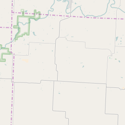
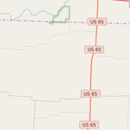
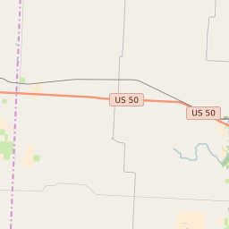
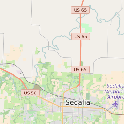


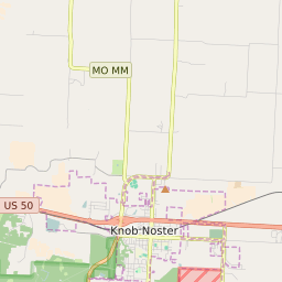
Hughesville Township Missouri Profile
| Place Name | Hughesville Township |
| Place Type | Township |
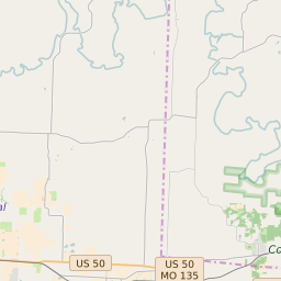
| ZIP Code(s) | 65301 65333 65334 65337 |
| County | Pettis County |
| Area Code(s) | 660 |
| Timezone | Central Daylight Time (CDT) |
| Population (2021) | 539 |
| Majority Ethnicity | White 99.62% |
| Metro/Micro Stats Area | Sedalia, MO |
| US Congressional District(s) | Missouri 4th |
| State House Districts | 51 |
| State Senate Districts | 28 |
Hughesville Township Race/Ethnicity Data
| Race/Ethnicy | Percentage of Population (2021) |
|---|---|
| White | 99.62% |
| African American | 0% |
| Hispanic | 0% |
| Asian | 0% |
| Native American | 0% |
| Hawaiin/Pacific Islander | 0.38% |