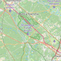
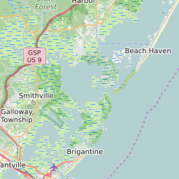


Galloway Township New Jersey Profile
| Place Name | Galloway Township |
| Place Type | Township |
| County | Atlantic County |
| Area Code(s) | 609,640 |
| Timezone | Eastern Daylight Time (EDT) |
| Population (2021) | 37,715 |
| Majority Ethnicity | White 69.16% |
| Metro/Micro Stats Area | Atlantic City-Hammonton, NJ |
| US Congressional District(s) | New Jersey 2nd |
| State Assembly Districts | 9 |
| State Senate Districts | 9 |
Galloway Township Race/Ethnicity Data
| Race/Ethnicy | Percentage of Population (2021) |
|---|---|
| White | 69.16% |
| African American | 9.48% |
| Hispanic | 0.23% |
| Asian | 8.07% |
| Native American | 0.02% |
| Hawaiin/Pacific Islander | 13.04% |