
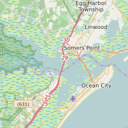


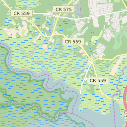
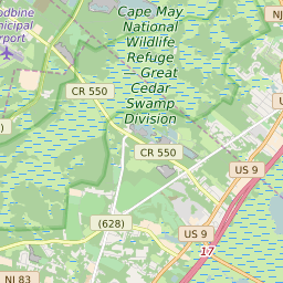

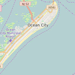


Upper Township New Jersey Profile
| Place Name | Upper Township |
| Place Type | Township |
| ZIP Code(s) | 08223 08226 08230 08248 08270 |
| County | Cape May County |
| Area Code(s) | 609,640 |
| Timezone | Eastern Standard Time (EST) |
| Population (2021) | 12,383 |
| Majority Ethnicity | White 95.32% |
| Metro/Micro Stats Area | Ocean City, NJ |
| US Congressional District(s) | New Jersey 2nd |
| State Assembly Districts | 1 |
| State Senate Districts | 1 |
Upper Township Race/Ethnicity Data
| Race/Ethnicy | Percentage of Population (2021) |
|---|---|
| White | 95.32% |
| African American | 0.2% |
| Hispanic | 0% |
| Asian | 1.36% |
| Native American | 0% |
| Hawaiin/Pacific Islander | 3.12% |