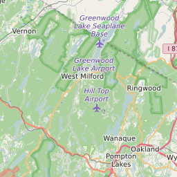
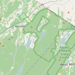
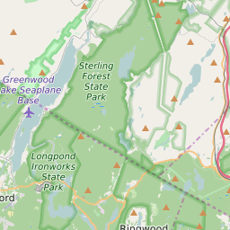
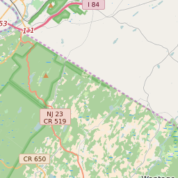
West Milford Township New Jersey Boundary Map


West Milford Township New Jersey Profile
| Place Name | West Milford Township |
| Place Type | Township |
| County | Passaic County |
| Area Code(s) | 862,973 |
| Timezone | Eastern Standard Time (EST) |
| Population (2021) | 25,014 |
| Majority Ethnicity | White 89.05% |
| Metro/Micro Stats Area | New York-Newark-Jersey City, NY-NJ-PA |
| US Congressional District(s) | New Jersey 5th |
| State Assembly Districts | 26 |
| State Senate Districts | 26 |
West Milford Township Race/Ethnicity Data
| Race/Ethnicy | Percentage of Population (2021) |
|---|---|
| White | 89.05% |
| African American | 1.27% |
| Hispanic | 0.21% |
| Asian | 1.77% |
| Native American | 0.11% |
| Hawaiin/Pacific Islander | 7.6% |