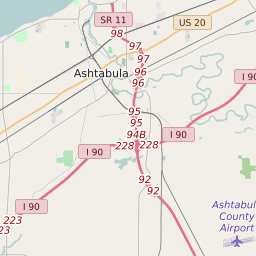


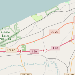


Ashtabula Township Ohio Profile
| Place Name | Ashtabula Township |
| Place Type | Township |
| ZIP Code(s) | 44004 44030 |
| County | Ashtabula County |
| Area Code(s) | 440 |
| Timezone | Eastern Daylight Time (EDT) |
| Population (2021) | 19,740 |
| Majority Ethnicity | White 78.2% |
| Metro/Micro Stats Area | Ashtabula, OH |
| US Congressional District(s) | Ohio 14th |
| State House Districts | 99 |
| State Senate Districts | 32 |
Ashtabula Township Race/Ethnicity Data
| Race/Ethnicy | Percentage of Population (2021) |
|---|---|
| White | 78.2% |
| African American | 8.39% |
| Hispanic | 0% |
| Asian | 0.69% |
| Native American | 0% |
| Hawaiin/Pacific Islander | 12.72% |