
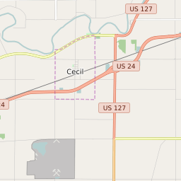
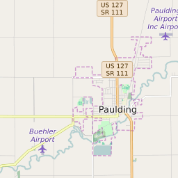
Carryall Township Ohio Profile
| Place Name | Carryall Township |
| Place Type | Township |
| ZIP Code(s) | 43526 45813 |
| County | Paulding County |
| Area Code(s) | 419,567 |
| Timezone | Eastern Daylight Time (EDT) |
| Population (2021) | 3,004 |
| Majority Ethnicity | White 92.19% |
| US Congressional District(s) | Ohio 5th |
| State House Districts | 82 |
| State Senate Districts | 1 |
Carryall Township Race/Ethnicity Data
| Race/Ethnicy | Percentage of Population (2021) |
|---|---|
| White | 92.19% |
| African American | 0.6% |
| Hispanic | 0.03% |
| Asian | 0.03% |
| Native American | 0% |
| Hawaiin/Pacific Islander | 7.15% |