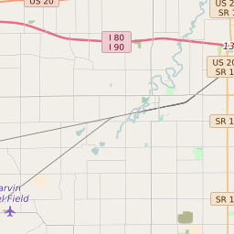
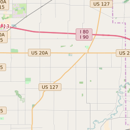
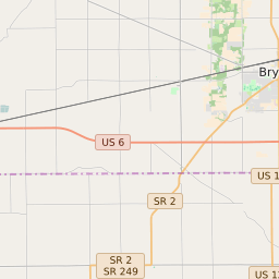
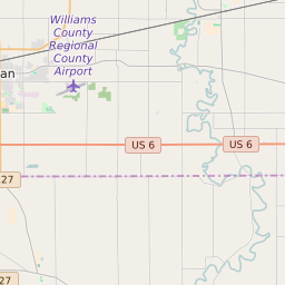
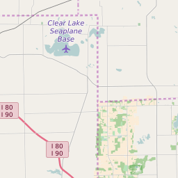
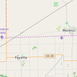
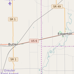
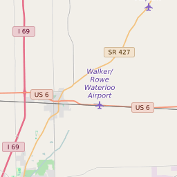
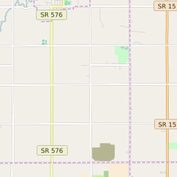
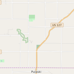
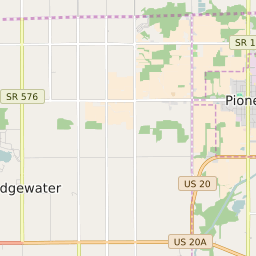
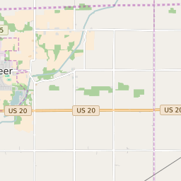
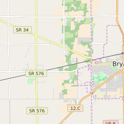
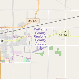
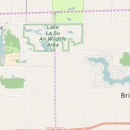
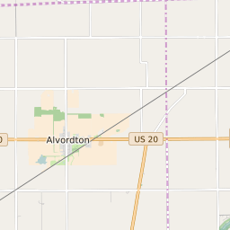
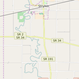
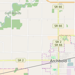
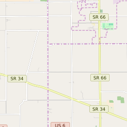
Jefferson Township (Williams County) Ohio Boundary Map

Jefferson Township (Williams County) Ohio Profile
| Place Name | Jefferson Township (Williams County) |
| Place Type | Township |
| ZIP Code(s) | 43506 43543 43554 43557 43570 |
| County | Williams County |
| Area Code(s) | 419,567 |
| Timezone | Eastern Daylight Time (EDT) |
| Population (2021) | 1,866 |
| Majority Ethnicity | White 97.8% |
| US Congressional District(s) | Ohio 5th |
| State House Districts | 81 |
| State Senate Districts | 1 |
Jefferson Township (Williams County) Race/Ethnicity Data
| Race/Ethnicy | Percentage of Population (2021) |
|---|---|
| White | 97.8% |
| African American | 0% |
| Hispanic | 0% |
| Asian | 0% |
| Native American | 0.54% |
| Hawaiin/Pacific Islander | 1.66% |