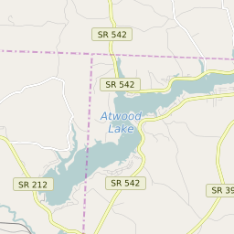
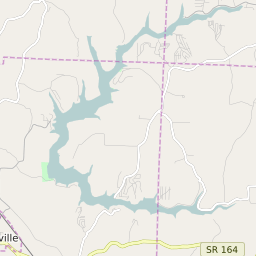
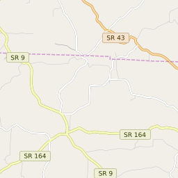
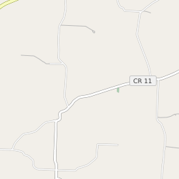
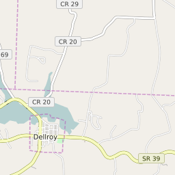
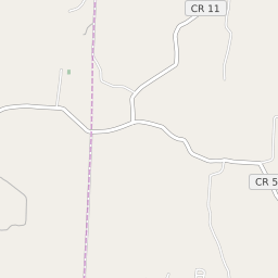
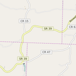
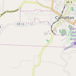
Monroe Township (Carroll County) Ohio Boundary Map


Monroe Township (Carroll County) Ohio Profile
| Place Name | Monroe Township (Carroll County) |
| Place Type | Township |
| ZIP Code(s) | 44615 44620 44675 44695 |
| County | Carroll County |
| Area Code(s) | 234,330,220,740 |
| Timezone | Eastern Standard Time (EST) |
| Population (2021) | 1,828 |
| Majority Ethnicity | White 100% |
| Metro/Micro Stats Area | Canton-Massillon, OH |
| US Congressional District(s) | Ohio 6th |
| State House Districts | 95 |
| State Senate Districts | 30 |
Monroe Township (Carroll County) Race/Ethnicity Data
| Race/Ethnicy | Percentage of Population (2021) |
|---|---|
| White | 100% |
| African American | 0% |
| Hispanic | 0% |
| Asian | 0% |
| Native American | 0% |
| Hawaiin/Pacific Islander | 0% |