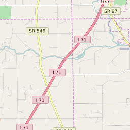
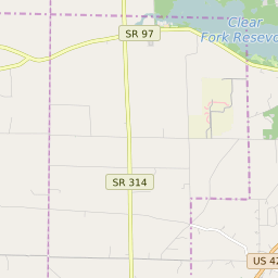
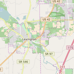
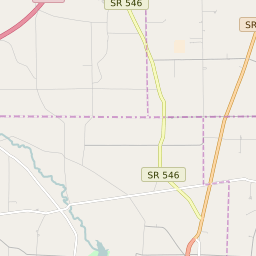
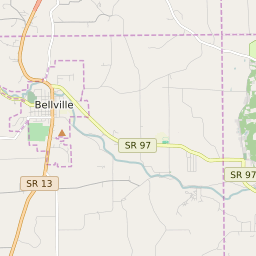
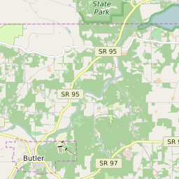
Perry Township (Richland County) Ohio Boundary Map


Perry Township (Richland County) Ohio Profile
| Place Name | Perry Township (Richland County) |
| Place Type | Township |
| ZIP Code(s) | 43019 44813 44904 |
| County | Richland County |
| Area Code(s) | 419,567,220,740 |
| Timezone | Eastern Daylight Time (EDT) |
| Population (2021) | 1,126 |
| Majority Ethnicity | White 99.82% |
| Metro/Micro Stats Area | Mansfield, OH |
| US Congressional District(s) | Ohio 12th |
| State House Districts | 2 |
| State Senate Districts | 22 |
Perry Township (Richland County) Race/Ethnicity Data
| Race/Ethnicy | Percentage of Population (2021) |
|---|---|
| White | 99.82% |
| African American | 0.18% |
| Hispanic | 0% |
| Asian | 0% |
| Native American | 0% |
| Hawaiin/Pacific Islander | 0% |