


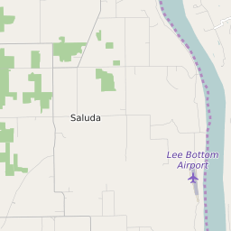


Marysville Indiana Profile
| Place Name | Marysville |
| Place Type | Unincorporated |
| ZIP Code(s) | 47141 |
| County | Clark County |
| Area Code(s) | 812,930 |
| Timezone | Eastern Daylight Time (EDT) |
| Population () | |
| Metro/Micro Stats Area | Louisville/Jefferson County, KY-IN |
| US Congressional District(s) | Indiana 9th |
| State House Districts | 66 |
| State Senate Districts | 45 |