

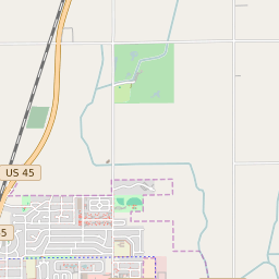
Rantoul Illinois Profile
| Place Name | Rantoul |
| Place Type | Village |
| ZIP Code(s) | 61866 |
| County | Champaign County |
| Area Code(s) | 217 |
| Timezone | Central Daylight Time (CDT) |
| Population (2022) | 12,880 |
| Population Growth Rate (2010-19) | -4.40% |
| Majority Ethnicity | White 64.31% |
| Metro/Micro Stats Area | Champaign-Urbana, IL |
| US Congressional District(s) | Illinois 15th |
| State House Districts | 104 |
| State Senate Districts | 52 |
Rantoul Race/Ethnicity Data
| Race/Ethnicy | Percentage of Population (2021) |
|---|---|
| White | 64.31% |
| African American | 20.49% |
| Hispanic | 0.27% |
| Asian | 1.63% |
| Native American | 0% |
| Hawaiin/Pacific Islander | 13.3% |