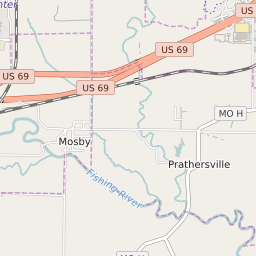


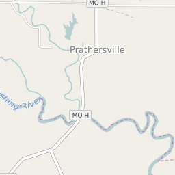

Prathersville Missouri Profile
| Place Name | Prathersville |
| Place Type | Village |
| ZIP Code(s) | 64024 |
| County | Clay County |
| Area Code(s) | 816,975 |
| Timezone | Central Daylight Time (CDT) |
| Population (2022) | 161 |
| Population Growth Rate (2010-19) | -2.42% |
| Majority Ethnicity | White 97.83% |
| Metro/Micro Stats Area | Kansas City, MO-KS |
| US Congressional District(s) | Missouri 6th |
| State House Districts | 38 |
| State Senate Districts | 12 |
Prathersville Race/Ethnicity Data
| Race/Ethnicy | Percentage of Population (2021) |
|---|---|
| White | 97.83% |
| African American | 0% |
| Hispanic | 1.09% |
| Asian | 0% |
| Native American | 0% |
| Hawaiin/Pacific Islander | 1.09% |