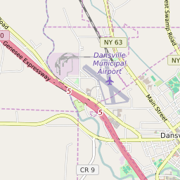
Dansville New York Profile
| Place Name | Dansville |
| Place Type | Village |
| ZIP Code(s) | 14437 |
| County | Livingston County |
| Area Code(s) | 585 |
| Timezone | Eastern Standard Time (EST) |
| Population (2022) | 4,817 |
| Population Growth Rate (2010-19) | -6.06% |
| Majority Ethnicity | White 92.53% |
| Metro/Micro Stats Area | Rochester, NY |
| US Congressional District(s) | New York 27th |
| State Assembly Districts | 133 |
| State Senate Districts | 57 |
Dansville Race/Ethnicity Data
| Race/Ethnicy | Percentage of Population (2021) |
|---|---|
| White | 92.53% |
| African American | 2.18% |
| Hispanic | 0% |
| Asian | 0% |
| Native American | 0% |
| Hawaiin/Pacific Islander | 5.29% |