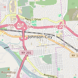


Johnson City New York Profile
| Place Name | Johnson City |
| Place Type | Village |
| ZIP Code(s) | 13790 |
| County | Broome County |
| Area Code(s) | 607 |
| Timezone | Eastern Standard Time (EST) |
| Population (2022) | 15,132 |
| Population Growth Rate (2010-19) | 1.11% |
| Majority Ethnicity | White 80.85% |
| Metro/Micro Stats Area | Binghamton, NY |
| US Congressional District(s) | New York 22nd |
| State Assembly Districts | 123 |
| State Senate Districts | 52 |
Johnson City Race/Ethnicity Data
| Race/Ethnicy | Percentage of Population (2021) |
|---|---|
| White | 80.85% |
| African American | 5.84% |
| Hispanic | 0.35% |
| Asian | 6.35% |
| Native American | 0% |
| Hawaiin/Pacific Islander | 6.62% |