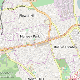


Munsey Park New York Profile
| Place Name | Munsey Park |
| Place Type | Village |
| ZIP Code(s) | 11030 |
| County | Nassau County |
| Area Code(s) | 516 |
| Timezone | Eastern Daylight Time (EDT) |
| Population (2022) | 2,677 |
| Population Growth Rate (2010-19) | 4.31% |
| Majority Ethnicity | White 77.44% |
| Metro/Micro Stats Area | New York-Newark-Jersey City, NY-NJ-PA |
| US Congressional District(s) | New York 3rd |
| State Assembly Districts | 16 |
| State Senate Districts | 7 |
Munsey Park Race/Ethnicity Data
| Race/Ethnicy | Percentage of Population (2021) |
|---|---|
| White | 77.44% |
| African American | 0.41% |
| Hispanic | 0% |
| Asian | 14.62% |
| Native American | 0% |
| Hawaiin/Pacific Islander | 7.53% |