


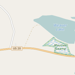

Richfield Springs New York Profile
| Place Name | Richfield Springs |
| Place Type | Village |
| ZIP Code(s) | 13439 |
| County | Otsego County |
| Area Code(s) | 315,680 |
| Timezone | Eastern Standard Time (EST) |
| Population (2022) | 1,193 |
| Population Growth Rate (2010-19) | -16.93% |
| Majority Ethnicity | White 94.47% |
| Metro/Micro Stats Area | Oneonta, NY |
| US Congressional District(s) | New York 19th |
| State Assembly Districts | 121 |
| State Senate Districts | 51 |
Richfield Springs Race/Ethnicity Data
| Race/Ethnicy | Percentage of Population (2021) |
|---|---|
| White | 94.47% |
| African American | 0.86% |
| Hispanic | 0% |
| Asian | 0.47% |
| Native American | 0% |
| Hawaiin/Pacific Islander | 4.2% |