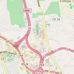
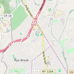
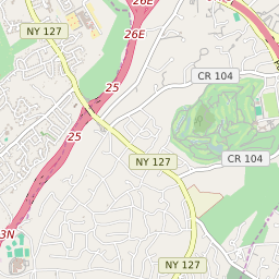

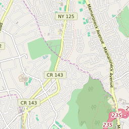


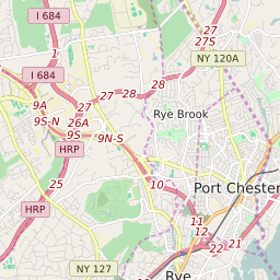
Rye Brook New York Profile
| Place Name | Rye Brook |
| Place Type | Village |
| ZIP Code(s) | 10573 10577 10604 |
| County | Westchester County |
| Area Code(s) | 914 |
| Timezone | Eastern Standard Time (EST) |
| Population (2022) | 9,325 |
| Population Growth Rate (2010-19) | 7.49% |
| Majority Ethnicity | White 80.15% |
| Metro/Micro Stats Area | New York-Newark-Jersey City, NY-NJ-PA |
| US Congressional District(s) | New York 17th |
| State Assembly Districts | 91 |
| State Senate Districts | 37 |
Rye Brook Race/Ethnicity Data
| Race/Ethnicy | Percentage of Population (2021) |
|---|---|
| White | 80.15% |
| African American | 0.89% |
| Hispanic | 0.26% |
| Asian | 8.14% |
| Native American | 0% |
| Hawaiin/Pacific Islander | 10.56% |