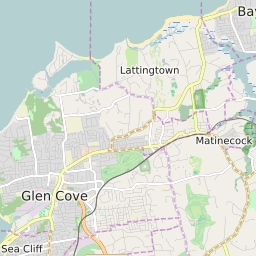

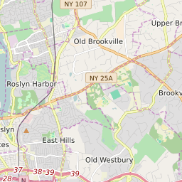
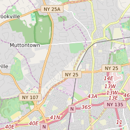
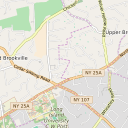

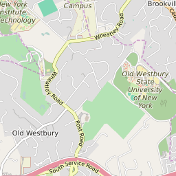
Upper Brookville New York Profile
| Place Name | Upper Brookville |
| Place Type | Village |
| ZIP Code(s) | 11545 11732 11771 |
| County | Nassau County |
| Area Code(s) | 516 |
| Timezone | Eastern Daylight Time (EDT) |
| Population (2022) | 1,463 |
| Population Growth Rate (2010-19) | 5.18% |
| Majority Ethnicity | White 82.62% |
| Metro/Micro Stats Area | New York-Newark-Jersey City, NY-NJ-PA |
| US Congressional District(s) | New York 3rd |
| State Assembly Districts | 15,19 |
| State Senate Districts | 5 |
Upper Brookville Race/Ethnicity Data
| Race/Ethnicy | Percentage of Population (2021) |
|---|---|
| White | 82.62% |
| African American | 0.29% |
| Hispanic | 0% |
| Asian | 16.11% |
| Native American | 0% |
| Hawaiin/Pacific Islander | 0.98% |