


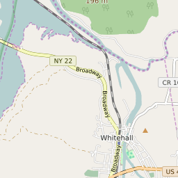

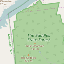
Whitehall New York Profile
| Place Name | Whitehall |
| Place Type | Village |
| ZIP Code(s) | 12887 |
| County | Washington County |
| Area Code(s) | 518,838 |
| Timezone | Eastern Standard Time (EST) |
| Population (2022) | 3,065 |
| Population Growth Rate (2010-19) | -5.70% |
| Majority Ethnicity | White 95.62% |
| Metro/Micro Stats Area | Glens Falls, NY |
| US Congressional District(s) | New York 21st |
| State Assembly Districts | 114 |
| State Senate Districts | 45 |
Whitehall Race/Ethnicity Data
| Race/Ethnicy | Percentage of Population (2021) |
|---|---|
| White | 95.62% |
| African American | 0.09% |
| Hispanic | 0.09% |
| Asian | 0% |
| Native American | 0% |
| Hawaiin/Pacific Islander | 4.2% |