


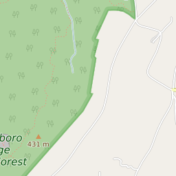


Wurtsboro New York Profile
| Place Name | Wurtsboro |
| Place Type | Village |
| ZIP Code(s) | 12790 |
| County | Sullivan County |
| Area Code(s) | 845 |
| Timezone | Eastern Standard Time (EST) |
| Population (2022) | 880 |
| Population Growth Rate (2010-19) | -9.79% |
| Majority Ethnicity | White 88.89% |
| US Congressional District(s) | New York 19th |
| State Assembly Districts | 100 |
| State Senate Districts | 42 |
Wurtsboro Race/Ethnicity Data
| Race/Ethnicy | Percentage of Population (2021) |
|---|---|
| White | 88.89% |
| African American | 1.56% |
| Hispanic | 0.33% |
| Asian | 1.32% |
| Native American | 0% |
| Hawaiin/Pacific Islander | 7.9% |