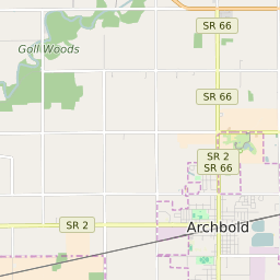


Archbold Ohio Profile
| Place Name | Archbold |
| Place Type | Village |
| ZIP Code(s) | 43502 |
| County | Fulton County |
| Area Code(s) | 419,567 |
| Timezone | Eastern Standard Time (EST) |
| Population (2022) | 4,197 |
| Population Growth Rate (2010-19) | 3.91% |
| Majority Ethnicity | White 85.12% |
| Metro/Micro Stats Area | Toledo, OH |
| US Congressional District(s) | Ohio 5th |
| State House Districts | 47 |
| State Senate Districts | 2 |
Archbold Race/Ethnicity Data
| Race/Ethnicy | Percentage of Population (2021) |
|---|---|
| White | 85.12% |
| African American | 1.61% |
| Hispanic | 0% |
| Asian | 0% |
| Native American | 0.17% |
| Hawaiin/Pacific Islander | 13.1% |