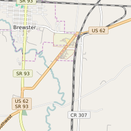


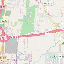


Brewster Ohio Profile
| Place Name | Brewster |
| Place Type | Village |
| ZIP Code(s) | 44613 |
| County | Stark County |
| Area Code(s) | 234,330 |
| Timezone | Eastern Standard Time (EST) |
| Population (2022) | 2,332 |
| Population Growth Rate (2010-19) | 0.05% |
| Majority Ethnicity | White 97.78% |
| Metro/Micro Stats Area | Canton-Massillon, OH |
| US Congressional District(s) | Ohio 7th |
| State House Districts | 38 |
| State Senate Districts | 27 |
Brewster Race/Ethnicity Data
| Race/Ethnicy | Percentage of Population (2021) |
|---|---|
| White | 97.78% |
| African American | 1.16% |
| Hispanic | 0% |
| Asian | 0% |
| Native American | 0% |
| Hawaiin/Pacific Islander | 1.06% |