


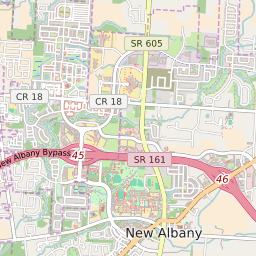


Johnstown Ohio Profile
| Place Name | Johnstown |
| Place Type | Village |
| ZIP Code(s) | 43031 |
| County | Licking County |
| Area Code(s) | 220,740 |
| Timezone | Eastern Standard Time (EST) |
| Population (2022) | 5,070 |
| Population Growth Rate (2010-19) | 11.87% |
| Majority Ethnicity | White 96.06% |
| Metro/Micro Stats Area | Columbus, OH |
| US Congressional District(s) | Ohio 12th |
| State House Districts | 71 |
| State Senate Districts | 31 |
Johnstown Race/Ethnicity Data
| Race/Ethnicy | Percentage of Population (2021) |
|---|---|
| White | 96.06% |
| African American | 0.6% |
| Hispanic | 0% |
| Asian | 0% |
| Native American | 0% |
| Hawaiin/Pacific Islander | 3.33% |