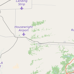
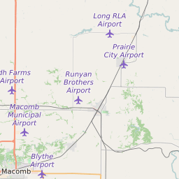
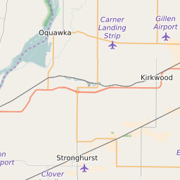
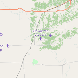
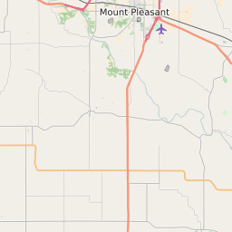
Map of Mcdonough County Illinois Average Adjusted Gross Income by ZIP Code
Click on the ZIP Codes in the interactive map to view more information. The map control in the upper right corner can be used to toggle map layers on and off. The red outline is the border of Mcdonough County and can be turned on and off. Each type of postal code can also be turned on and off.


List of ZIP Codes in Mcdonough County With Average Adjusted Income - 2021
| ZIP Code | ZIP Code City/Town | ZIP Type | Average Adjusted Income(2021) | |||
|---|---|---|---|---|---|---|
| Adair | Standard | $120,800 | |||
| Blandinsville | Standard | $184,510 | |||
| Bushnell | Standard | $494,700 | |||
| Good Hope | Standard | $158,360 | |||
| Industry | Standard | $169,200 | |||
| Macomb | Standard | $360,550 | |||
| Marietta | Standard | $141,630 | |||
| Prairie City | Standard | $134,900 | |||
| Sciota | Standard | $172,900 | |||
| Table Grove | Standard | $142,840 | |||
| Vermont | Standard | $135,400 | |||
| Colchester | Standard | $156,220 | |||
| Plymouth | Standard | $151,620 | |||
| Tennessee | Standard | $144,200 |
Source: US Internal Revenue Service