ZipDataMaps
Blog
About
Data and Maps
US ZIP Codes
ZIP Code Tools
Canada Postal Codes
Area Codes
Politics
POI Data
Regional Market Areas
Neighborhoods
Economics
Counties
Places
Schools
Home
Neighborhoods
Phoenix Neighborhoods
Garfield Neighborhood Map
Garfield
Garfield is a neighborhood located in
Phoenix
Arizona. The ZIP Code for Garfield is
85006
.
Politics
Schools
Related
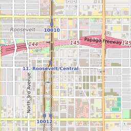
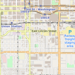
Interactive Map of Phoenix Neighborhood Garfield
+
−
Phoenix Border
Leaflet
|
©Zipdatamaps
©OpenStreetMap Contributors
Share:
Garfield Data
City
Phoenix
County
Maricopa County
ZIP Code
85006
Region
Metro Phoenix
Area Code
602
85006 Politics
US Congressional Districts in Garfield
3rd District
Arizona State Senate Districts in Garfield
District 5
Arizona State House of Representatives Districts in Garfield
District 5
Garfield Schools
The school district serving the Garfield neighborhood is
Phoenix Union High School District
. Garfield is within two elementary school attendance areas:
Garfield School
or
Emerson School
High school students in Garfield attend
North High School
.
Related Maps and Pages:
Phoenix ZIP Code Map
Arizona Congressional District Map
Arizona ZIP Code Map
Arizona State House of Representatives Map
Arizona State Senate Map
Phoenix Average Adjusted Gross Income ZIP Code Map
Phoenix Median Household Income ZIP Code Map
About
Contact
Terms
Privacy
ZIP Code Blog
Twitter
Facebook
E-mail
2025 zipdatamaps.com