ZIP Data and Maps
Blog
About
Data and Maps
US ZIP Codes
ZIP Code Tools
Canada Postal Codes
Area Codes
Politics
POI Data
Regional Market Areas
Neighborhoods
Economics
Counties
Places
Schools
Home
Neighborhoods
Phoenix Neighborhoods
Kierland Neighborhood Map
Kierland
Kierland is a neighborhood located in
Phoenix
Arizona. The ZIP Code for Kierland is
85254
.
Politics
Schools
Related
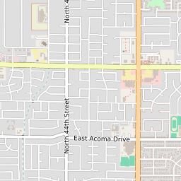
Interactive Map of Phoenix Neighborhood Kierland
+
−
Leaflet
|
©Zipdatamaps
©OpenStreetMap Contributors
Share:
Kierland Data
City
Phoenix
County
Maricopa County
ZIP Code
85254
Region
Metro Phoenix
Area Code
480
85254 Politics
US Congressional Districts in Kierland
1st District
Arizona State Senate Districts in Kierland
District 4
Arizona State House of Representatives Districts in Kierland
District 4
Kierland Schools
The school district serving the Kierland neighborhood is
Paradise Valley Unified District
. Elementary school students in Kierland attend
Sandpiper Elementary School
. Middle school students in Kierland attend
Desert Shadows Middle School
. High school students in Kierland attend
Horizon High School
.
Related Maps and Pages:
Phoenix ZIP Code Map
Arizona Congressional District Map
Arizona ZIP Code Map
Arizona State House of Representatives Map
Arizona State Senate Map
Phoenix Average Adjusted Gross Income ZIP Code Map
Phoenix Median Household Income ZIP Code Map
About
Contact
Terms
Privacy
ZIP Code Blog
Twitter
Facebook
E-mail
2025 zipdatamaps.com