ZipDataMaps
Blog
About
Data and Maps
US ZIP Codes
ZIP Code Tools
Canada Postal Codes
Area Codes
Politics
POI Data
Regional Market Areas
Neighborhoods
Economics
Counties
Places
Schools
Home
Neighborhoods
Denver Neighborhoods
Platt Park Neighborhood Map
Platt Park
Platt Park is a neighborhood located in
Denver
Colorado. The ZIP Code for Platt Park is
80210
.
Politics
Schools
Related
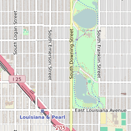
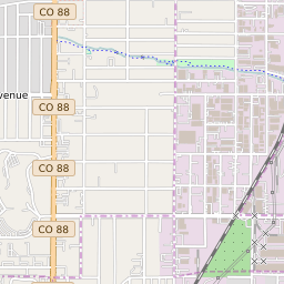
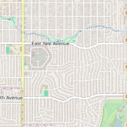
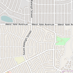
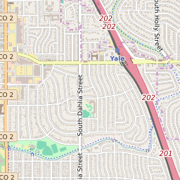
Interactive Map of Denver Neighborhood Platt Park
+
−
Denver Border
Leaflet
|
©Zipdatamaps
©OpenStreetMap Contributors
Share:
Platt Park Data
City
Denver
County
Denver County
ZIP Code
80210
Region
Metro Denver
Area Codes
303
/
720
/
983
80210 Politics
US Congressional Districts in Platt Park
1st District
Colorado State Senate Districts in Platt Park
District 2
Colorado State House of Representatives Districts in Platt Park
District 32
Platt Park Schools
The school district serving the Platt Park neighborhood is
Denver County School District 1
.
Related Maps and Pages:
Denver ZIP Code Map
Colorado Congressional District Map
Colorado ZIP Code Map
Denver Average Adjusted Gross Income ZIP Code Map
Denver Median Household Income ZIP Code Map
Colorado State House of Representatives Map
Colorado State Senate Map
About
Contact
Terms
Privacy
ZIP Code Blog
Twitter
Facebook
E-mail
2025 zipdatamaps.com