ZipDataMaps
Blog
About
Data and Maps
US ZIP Codes
ZIP Code Tools
Canada Postal Codes
Area Codes
Politics
POI Data
Regional Market Areas
Neighborhoods
Economics
Counties
Places
Schools
Home
Neighborhoods
Chicago Neighborhoods
Clearing Neighborhood Map
Clearing
Clearing is a neighborhood located in
Chicago
Illinois. The ZIP Code for Clearing is
60638
.
Politics
Schools
Related
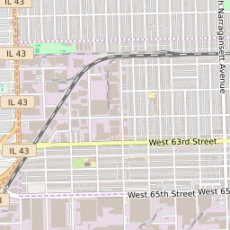
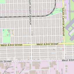
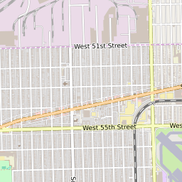
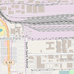
Interactive Map of Chicago Neighborhood Clearing
+
−
Chicago Border
Leaflet
|
©Zipdatamaps
©OpenStreetMap Contributors
Share:
Clearing Data
City
Chicago
County
Cook County
ZIP Code
60638
Region
Metro Chicago
Area Codes
773
/
872
60638 Politics
US Congressional Districts in Clearing
4th District
6th District
Illinois State Senate Districts in Clearing
District 22
Illinois State House of Representatives Districts in Clearing
District 11
Clearing Schools
The school district serving the Clearing neighborhood is
Chicago Public School District 299
. There are a total of 3 elementary school attendance zones within Clearing:
Hale Elementary School
,
Dore Elementary School
and
Pasteur Elementary School
. Clearing is within two high school attendance areas:
Kennedy High School
or
Hubbard High School
Related Maps and Pages:
Chicago ZIP Code Map
Chicago Average Adjusted Gross Income ZIP Code Map
Chicago Median Household Income ZIP Code Map
Illinois Congressional District Map
Illinois ZIP Code Map
Illinois State House of Representatives Map
Illinois State Senate Map
About
Contact
Terms
Privacy
ZIP Code Blog
Twitter
Facebook
E-mail
2025 zipdatamaps.com