ZIP Data and Maps
Blog
About
Data and Maps
US ZIP Codes
ZIP Code Tools
Canada Postal Codes
Area Codes
Politics
POI Data
Regional Market Areas
Neighborhoods
Economics
Counties
Places
Schools
Home
Neighborhoods
Bronx Neighborhoods
Hunts Point Neighborhood Map
Hunts Point
Hunts Point is a neighborhood located in
Bronx
New York. The ZIP Code for Hunts Point is
10474
.
Politics
Schools
Related
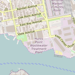
Interactive Map of Bronx Neighborhood Hunts Point
+
−
Leaflet
|
©Zipdatamaps
©OpenStreetMap Contributors
Share:
Hunts Point Data
City
Bronx
County
Bronx County
ZIP Code
10474
Region
Metro New York City
Area Codes
347
/
718
/
917
/
929
10474 Politics
US Congressional Districts in Hunts Point
14th District
New York State Assembly Districts in Hunts Point
District 84
New York State Senate Districts in Hunts Point
District 29
Hunts Point Schools
The school district serving the Hunts Point neighborhood is
New York City Geographic District 8
. Elementary school students in Hunts Point attend
PS 48 Joseph R. Drake School
. Middle school students in Hunts Point attend
The Hunts Point School
.
Related Maps and Pages:
Bronx ZIP Code Map
Bronx Average Adjusted Gross Income ZIP Code Map
Bronx Median Household Income ZIP Code Map
New York State Assembly Map
New York State Senate Map
New York Congressional District Map
New York ZIP Code Map
About
Contact
Terms
Privacy
ZIP Code Blog
Twitter
Facebook
E-mail
2025 zipdatamaps.com