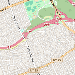
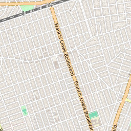
Interactive Map of Queens Neighborhood Holliswood
Holliswood Data
| City | Queens |
| County | Queens County |
| ZIP Code | 11423 |
| Region | Metro New York City |
| Area Codes | 347 / 718 / 917 / 929 |
11423 Politics
| US Congressional Districts in Holliswood | |
| New York State Assembly Districts in Holliswood | |
| New York State Senate Districts in Holliswood |
Holliswood Schools
The school districts serving the Holliswood neighborhood are New York City Geographic District 29 and New York City Geographic District 26 Holliswood is within two elementary school attendance areas: PS/IS 178 Holliswood School or The Bellaire School Holliswood is within two middle school attendance areas: JHS216 George J Ryan School or Jean Nuzzi Intermediate School


