ZIP Data and Maps
Blog
About
Data and Maps
US ZIP Codes
ZIP Code Tools
Canada Postal Codes
Area Codes
Politics
POI Data
Regional Market Areas
Neighborhoods
Economics
Counties
Places
Schools
Home
Minnesota Regional Market Areas
Rochester-Mason City-Austin Area
Rochester-Mason City-Austin Area, Minnesota - Regional Market Area
Map
Profile
Related
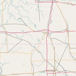
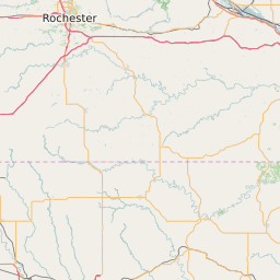
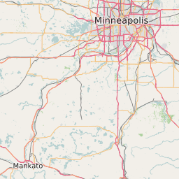
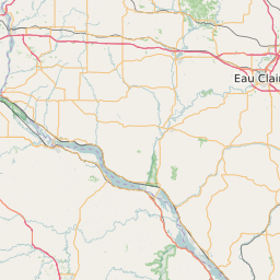
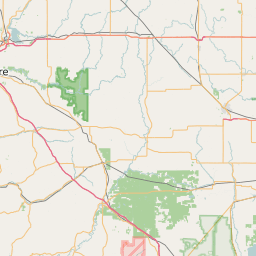
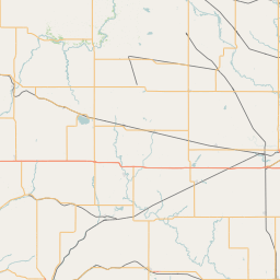
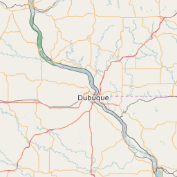
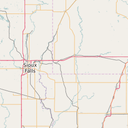
Rochester-Mason City-Austin Area Boundary Map
+
−
Leaflet
|
©Zipdatamaps
©OpenStreetMap Contributors
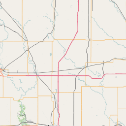
Rochester-Mason City-Austin Area Profile
Region Name
Rochester-Mason City-Austin Area
Population (2021)
381641
Population Growth Rate (2017-2021)
2.86%
Total Counties
12
Rochester-Mason City-Austin Area Counties
Howard County
Cerro Gordo County
Dodge County
Mitchell County
Winnebago County
Worth County
Fillmore County
Hancock County
Olmsted County
Mower County
Freeborn County
Floyd County
Related Maps and Data:
Majority Race/Ethnicity for Counties in Minnesota
Minnesota Airports
Minnesota Area Codes
Minnesota Colleges and Universities
Minnesota Congressional Districts Map
Minnesota Metropolitan/Micropolitan Statistical Areas
Minnesota Military Bases
Minnesota Power Plants
Minnesota Regional Market Areas
Minnesota School Districts
Minnesota State House of Representatives Map
Minnesota State Senate Map
Minnesota ZIP Code List
Minnesota ZIP Code Map
Partisan Voting Index for Counties in Minnesota
Poorest ZIP Codes in Minnesota
Population Change for Counties in Minnesota
Public School Majority Race/Ethnicity for Counties in Minnesota
SNAP/Food Stamp Participation for Counties in Minnesota
Unemployment Rate Heat Map for Cities and Counties in Minnesota
Unemployment Rate for Counties in Minnesota
Wealthiest ZIP Codes in Minnesota
About
Contact
Terms
Privacy
ZIP Code Blog
Twitter
Facebook
E-mail
2025 zipdatamaps.com