ZipDataMaps
Blog
About
Data and Maps
US ZIP Codes
ZIP Code Tools
Canada Postal Codes
Area Codes
Politics
POI Data
Regional Market Areas
Neighborhoods
Economics
Counties
Places
Schools
Home
Utah Regional Market Areas
St George Utah Area
St George Utah Area, Utah - Regional Market Area
Map
Profile
Related
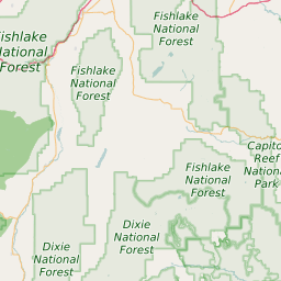
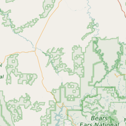
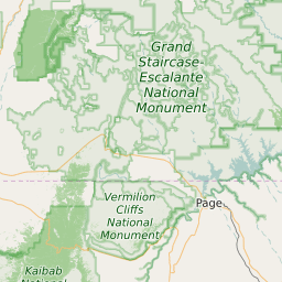
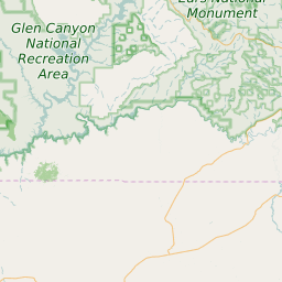
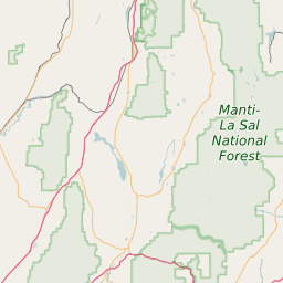
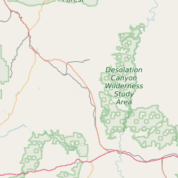
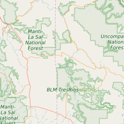
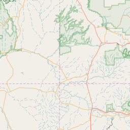
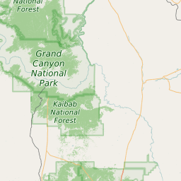
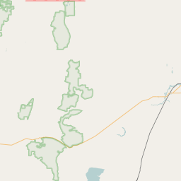
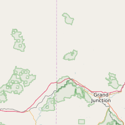
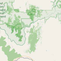
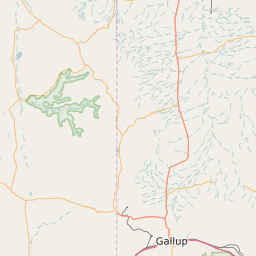
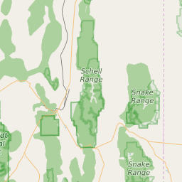
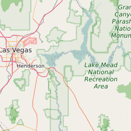
St George Utah Area Boundary Map
+
−
Leaflet
|
©Zipdatamaps
©OpenStreetMap Contributors
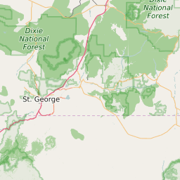
St George Utah Area Profile
Region Name
St George Utah Area
Population (2021)
259678
Population Growth Rate (2017-2021)
12.15%
Total Counties
5
St George Utah Area Counties
Washington County
Garfield County
Iron County
San Juan County
Kane County
Related Maps and Data:
Majority Race/Ethnicity for Counties in Utah
Partisan Voting Index for Counties in Utah
Poorest ZIP Codes in Utah
Population Change for Counties in Utah
Public School Majority Race/Ethnicity for Counties in Utah
Unemployment Rate Heat Map for Cities and Counties in Utah
Unemployment Rate for Counties in Utah
Utah Airports
Utah Area Codes
Utah Colleges and Universities
Utah Congressional Districts Map
Utah Metropolitan/Micropolitan Statistical Areas
Utah Military Bases
Utah Power Plants
Utah Regional Market Areas
Utah School Districts
Utah State House of Representatives Map
Utah State Senate Map
Utah ZIP Code List
Utah ZIP Code Map
Wealthiest ZIP Codes in Utah
About
Contact
Terms
Privacy
ZIP Code Blog
Twitter
Facebook
E-mail
2025 zipdatamaps.com