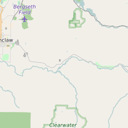
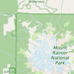
ZIP Code 98321 - Buckley Map and Data

Map of ZIP Code 98321 Border

Official Zip Code NameBuckley
Zip Code StateWashington
Zip Code TypeNon-Unique
Primary County: Pierce
Secondary County: King
Area Code360
Current Population:15152
Racial Majority: 89.86%
Public School Racial Majority:White 84%
Unemployment Rate:5.3%
Median Household Income$69600
Average Adjusted Gross Income$84440
School Test Performance:Above Average
Average Commute Time35.2 Minutes
Time Zone:Pacific Daylight Time
Elevation Range446 - 10391 ft.
Area523 Sqm.
Coordinates(Y,X)46.97386600, -121.79134800

Zip Code 98321 Profile

ZIP Code 98321 is located in the state of Washington in the Seattle - Tacoma metro area. ZIP code 98321 is primarily located in Pierce County. Portions of 98321 are also located in King County. The official US Postal Service name for 98321 is BUCKLEY, Washington. Portions of ZIP code 98321 are contained within or border the city limits of Buckley, WA, Wilkeson, WA, Prairie Ridge, WA, South Prairie, WA, Enumclaw, WA, Carbonado, WA, and Bonney Lake, WA. ZIP code 98321 is within area code 360 and area code 253. 98321 can be classified socioeconically as a Middle Class class zipcode in comparison to other zipcodes in Washington.

The current unemployment level in 98321 is 5.3% which is lower than the current county unemployment level of 6.5% and is higher than the current state unemployment at 4.4% and higher than the current national unemployment rate at 3.7%.

According the 2010 US Census, the population of 98321 increased to 15152 from 14652 over the past 10 years. The majority ethnicity residing in 98321 is while the majority ethnicity attending 98321 public schools is White. 33.9% of students in 98321 public schools receive or are eligible to participate in free or reduced lunch programs.

20142010Change(+/-)
 White 12825 89.86% 13795 -7%
 Black Or African American 68 0.48% 75 -9%
 Hispanic 466 3.27% 549 -15%
 American Indian Or Alaskan Native 103 0.72% 138 -25%
 Asian 146 1.02% 148 -1%
 Native Hawaiian & Other Pacific Islander 9 0.06% 18 -50%
 Other Race 7 0% 7 -100%
 Two Or More Races 422 4.59% 422 +55%

Zip Code 98321 Race/Ethnicity

 White 84%
 Black Or African American 0.6%
 Hispanic 8.1%
 Asian 0.8%
 Hawaii/Pacific Islander 0.2%
 American Indian Or Alaskan Native 1%
 Two or More Races 5.3%

Zip Code 98321 Public School Race/Ethnicity Profile

20102000
Total Population1515214652
Male Population50.20%
Female Population49.80%
Total Households5294
Test Score PerformanceAbove Average
Percentage of Students Eligible For
Free or Reduced Lunch
33.9%
Percentage of Public Schools with
Title 1 Status
40.0%
Median Household Income$69600
Income Under $50K Per Year31.10%
Income $50K to $100K Per Year45.20%
Income Above $100K Per Year23.70%
98321 US Congressional District
DistrictRepresentativeParty Affiliation
Washington District 8Kim SchrierDemocrat
Related Maps: Map of All Washington Congressional Districts

Average Real Estate Asking Price$270191
Average Real Estate Sale Price$199599
Current Unemployment Level 5.3%
Previous Month Unemployment Level5.1%
Unemployment Level 1 Year Ago5.9%
2012 Hardiness ZoneZone 8b: 15F to 20F
1990 Hardiness ZoneZone 8a: 10F to 15F
Köppen Climate ClassificationCfb - Oceanic Climate
Ecoregion 2b - Eastern Puget Riverine Lowlands
Average First Frost DatesOctober 21 - 31
Average Last Frost DatesApril 21 - 31

Zip Code 98321 Annual Climate Data

JanFebMarAprMayJunJulAugSepOctNovDecAnnual
Avg Min Temp (°F)32333538434851514741363241
Avg Max Temp (°F)44495358646975767160504459
Avg Precip (In.)6.085.044.784.043.32.831.541.72.474.057.196.1849.18
Core Based Statistical
Area (CBSA)
Seattle-Tacoma-Bellevue, WA
CBSA Type98321
CBSA Population3461985
Time ZonePacific Daylight Time
IANA Time ZoneAmerica/Los_Angeles
Follows DSTYes
GMT Difference-8 Hours